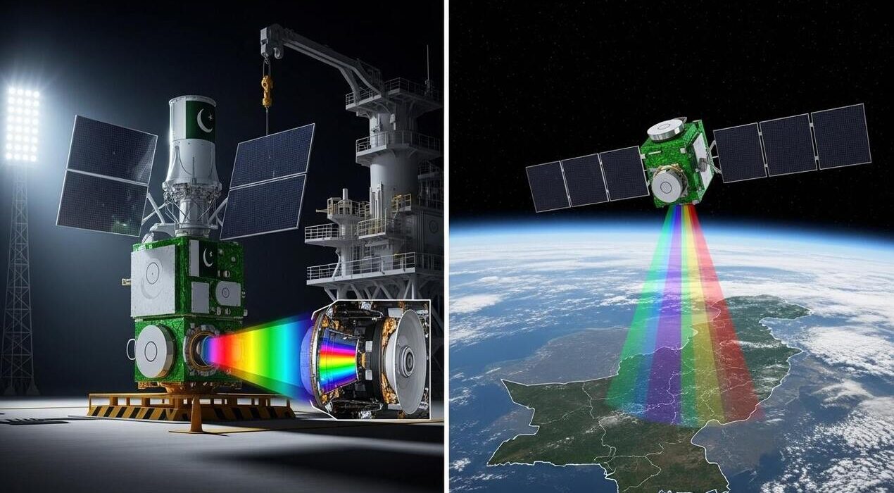
Pakistan is preparing for a historic milestone in its space program. Suparco (Space & Upper Atmosphere Research Commission) has confirmed the October launch of the nation’s first modern hyperspectral satellite. This step marks a leap in the country’s use of advanced space technology.
The satellite comes with cutting-edge imaging capabilities. It can capture detailed data across multiple wavelengths. As a result, Pakistan will gain insights that traditional satellites cannot provide. This development will transform how the country manages its natural resources.
The applications are broad. In agriculture, it will monitor crop health, soil conditions, and water use. Consequently, farmers can improve yields through data-driven decisions. For mineral exploration, precise mapping will help locate untapped reserves. Environmental scientists will also benefit. They can track glacier retreat, deforestation, and air pollution in real time.
Equally important, the satellite strengthens disaster management. It will monitor floods, droughts, and other hazards with greater accuracy. Therefore, emergency teams can respond faster with reliable data. Surveys that once required years will now finish in days. This speed will help policymakers act quickly and effectively.
Suparco’s leadership stressed that the launch is more than a scientific milestone. Indeed, it reflects Pakistan’s growing capacity to apply space technology for sustainability and resilience. The mission aims to support development goals while building climate preparedness.
As the countdown moves closer, expectations are high. Agriculture, environment, and disaster relief will gain first. However, the satellite’s impact could reshape Pakistan’s future across many sectors.
Pakistan to Launch First Hyperspectral Satellite This October